Research Areas
Research at the Radionavigation Laboratory can be broadly categorized into five main areas: secure perception, software-defined radio, robust perception, precise mass-market mobility, and remote sensing.
Secure Perception
 The next few decades will see pervasive autonomous control systems become critical to the world economy—from autonomous cars and aircraft to smart homes, smart cities, and vast energy, communication, and financial networks controlled at multiple scales. Protecting these systems from malicious attacks is a matter of urgent societal interest.
Our secure perception research has focused on an emergent category of cyber-physical attack that has seen little scrutiny in the secure control literature. Like cyber attacks, these attacks are hard to detect and can be executed from a distance, but unlike cyber attacks, they are effective even against control systems whose software, data, and communications networks are secure, and so can be considered a more menacing long-term threat. These are field attacks: attacks on the physical fields—electromagnetic, magnetic, acoustic, etc.—measured by system sensors. As specialized sensor attacks, field attacks seek to compromise a system’s perception of reality non-invasively—from without, not from within.
We are striving to develop a coherent analytical foundation for secure perception in the presence of field attacks and a suite of algorithms and tools to detect such attacks. A key insight behind our approach is that the physics of field attacks impose fundamental difficulties on the attacker. As with the one-way functions that underpin public-key cryptography, there are tests which are fundamentally difficult to circumvent even in the presence of process and measurement noise and when the system state is not fully observable from unaffected sensors. Our approach seeks to progressively build security into navigation, collision avoidance, and timing perception from the physical sensory layer to the top-level state estimation algorithms.
 Robust Perception
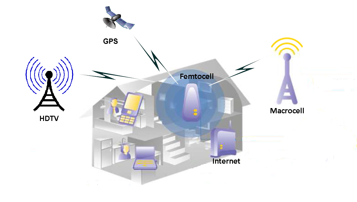 Besides securing autonomous system perception against deliberate attack, another imperative is to robustify perception to ensure reliable autonomous system navigation, collision avoidance, and timing despite harsh sensing environments. Our work on this topic has two themes:
- precise vision-based sensing, and
- massive signal-of-opportunity exploitation.
Software-Defined Radio
 Projects:
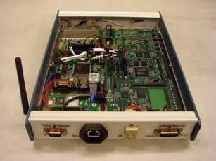
- GRID: A Software-Defined Radionavigation Receiver
- CASES: Connected Autonomous Space Environment Sensors
- The GPS Assimilator: A Method for Upgrading Existing GPS User Equipment to Improve Accuracy, Robustness, and Resistance to Spoofing
- Scintillation-Robust Carrier Phase Tracking
- FOTON: A Software-Defined, Compact, Low-Cost GPS Radio Occultation Sensor
Precise Mass-Market Mobility
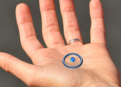 GPS chipsets are getting smaller, cheaper, and more energy efficient. They are now ubiquitous in smartphones and tablets, enabling a host of location-based services. But the underlying positioning accuracy of consumer-grade GPS receivers has stagnated at approximately 2-3 meters. We are engaged in bringing about the next revolution in consumer-grade mobile positioning, which will take us to centimeter accuracy. The challenges of cm-accuracy on consumer devices are daunting:
- The GPS antennas on mobile handsets and tablets are little better than smashed paper clips. Their poor quality (15-20 dB below that of even a cheap patch antenna and dismal multipath mitigation) makes it extremely challenging to extract carrier phase measurements accurate enough for fast fixing of the integer ambiguities that arise in the carrier-phase differential technique. And mobile users are impatient: they may be persuaded to wait 30 seconds for a cm-accurate position fix, but only a resolute few would hold out for longer.
- Differential carrier-phase-based positioning is power hungry compared with standard code-phase positioning. On a mobile device, milliwatts matter.
- Lack of a killer app.
Remote Sensing
 Radio-frequency navigation and timing signals can be excellent sources of remotely-sensed science data, revealing structural details of the ionosphere and neutral atmosphere. Perhaps the most promising technique is GPS-based radio occultation (GPSRO), which yields electron density and precipitable water vapor or temperature profiles useful for numerical weather prediction (including space weather). Together with colleagues at UT and Cornell University, we have developed the first software-defined GPSRO sensor suitable for deployment on a cubesat. We have also developed an instrument for ionospheric scintillation monitoring, which leverages our work in software-defined radio and applies techniques we developed for robust GPS signal tracking during scintillation.
 Public Datasets and Code
 The next few decades will see pervasive autonomous control systems become critical to the world economy—from autonomous cars and aircraft to smart homes, smart cities, and vast energy, communication, and financial networks controlled at multiple scales. Protecting these systems from malicious attacks is a matter of urgent societal interest.
Our secure perception research has focused on an emergent
Datasets:
- TEX-CUP: The University of Texas Challenge for Urban Positioning
- Texas Spoofing Test Battery (TEXBAT)
- ATX Urban Positioning Challenge Dataset
- Cornell Scintillation Simulation Toolkit: This package allows the user to simulate ionospheric scintillation with a given S4 and τ0. Functions are written in Matlab and produce a data output file that can be input to a Spirent GPS Signal Simulator. This can be useful both for comparing multiple receivers when tracking under identical scintillation conditions, and for testing receiver performance under a wide range of scintillation severity. The simulator is based on the paper Humphreys, Todd E., et al. “Simulating ionosphere-induced scintillation for testing GPS receiver phase tracking loops.” IEEE Journal of Selected Topics in Signal Processing 3.4 (2009): 707-715.

